Upload date
All time
Last hour
Today
This week
This month
This year
Type
All
Video
Channel
Playlist
Movie
Duration
Short (< 4 minutes)
Medium (4-20 minutes)
Long (> 20 minutes)
Sort by
Relevance
Rating
View count
Features
HD
Subtitles/CC
Creative Commons
3D
Live
4K
360°
VR180
HDR
145,895 results
AlphaEarth Foundations and the Satellite Embedding Dataset: A New Foundation for Geospatial Analysis by Valerie Pasquarella ...
1,704 views
5 months ago
From “Reality” to a World of Discourse.
670 views
7 years ago
An Introduction to Geospatial Science and Technology. Complete lecture. Includes an overview of the science as well as a ...
28,508 views
11 years ago
Lecture: Geospatial modeling and GIS-based modeling of landscape processes Lecturer: Helena Mitasova Course: NCSU ...
2,277 views
9 years ago
Learn about Geospatial Analysis with the National Student Data Corps! What is geospatial data and why is it so important?
1,055 views
2 years ago
telluric: interactive manipulation of Geospatial data with Jupyter and Python telluric library is an open source library developed by ...
272 views
Geoinformationen begegnet man heute an vielen Stellen im täglichen Leben, sei dies in öffentlichen Portalen wie dem ...
5,600 views
6 years ago
In this video, we will walk you through the topic of Geospatial Metadata, including how to report about geospatial information using ...
661 views
1 year ago
Get to know geospatial data types (basics) in the form of vector and raster data based on explanations from ...
376 views
3 years ago
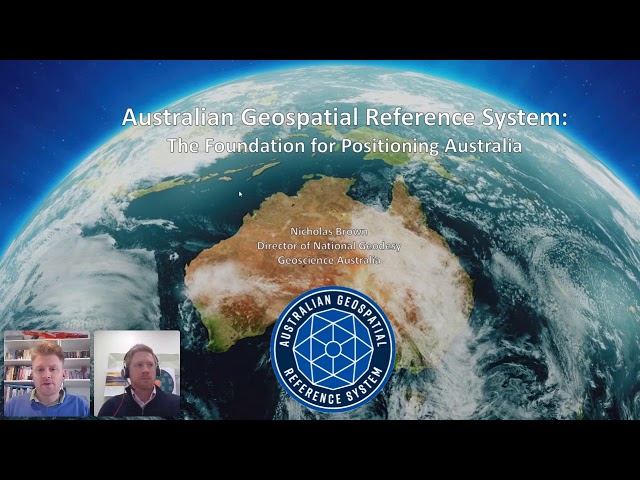
Presented by Nicholas Brown Seminar description The Positioning Australia program is a $225 million commitment from the ...
1,874 views
5 years ago
Update December 2025 *** The latest version of the addon is working with Bledner 5.0 again you can download it here: ...
1,994,887 views
Presenter: Joris Van den Bossche.
12,409 views
8 years ago
For more info on all Air Force Jobs visit - https://www.airmanvision.com/air-force-blog Geospatial Intelligence Analysts play an ...
2,973 views
In this video, we will learn together about GIS technology by answering the below questions: What is GIS? How is GIS used?
765 views
Have you unlocked the powers of PostgreSQL yet? This talk will show 3 neat features of how to use postgresql in a somewhat ...
158 views
Hier geht es weiter zur Vorlesung Geo-Informationssysteme (GIS) und zur Übung und dem Test ...
18,281 views
In this comprehensive GIS tutorial, we'll move beyond basic mapping to answer a critical urban planning question: How ...
2,757 views
10 months ago
Karen Schuckman: All the advisors also teach courses in the Online Geospatial Program. Many of us have industry backgrounds, ...
201 views
4 years ago
Geospatial Education at Penn State. For more information go to www.pennstategis.com or https://gis.e-education.psu.edu/
221 views
Geospatial Education at Penn State. For more information go to www.pennstategis.com or https://geospatial.psu.edu/
411 views