ViewTube

ViewTube
Sign inSign upSubscriptions
Filters

Upload date

Type

Duration

Sort by

Features

Reset

232,651 results

Esri Developers
ArcGIS: A GeoSpatial AI Platform | #EsriDevTech2026

Jay Theodore, CTO - ArcGIS Enterprise & AI, leads this section to highlight the features of the ArcGIS Pro AI Assistant, ArcGIS ...

34:31
ArcGIS: A GeoSpatial AI Platform | #EsriDevTech2026

665 views

4 weeks ago

Native GIS
CNN vs Vision Transformers Geospatial AI Hits an Inflection Point | 2026 GeoAI Shift

CNN vs Vision Transformers Geospatial AI Hits an Inflection Point This represents a massive shift for geospatial analysis, driven ...

6:04
CNN vs Vision Transformers Geospatial AI Hits an Inflection Point | 2026 GeoAI Shift

92 views

3 weeks ago

Open Geospatial Solutions
Introducing OpenGeoPub - A new platform for geospatial learning and publishing

I'm excited to introduce OpenGeoPub (https://opengeopub.com), a new platform designed for geospatial learning and publishing.

10:43
Introducing OpenGeoPub - A new platform for geospatial learning and publishing

246 views

11 hours ago

GIS Dominica
GIS National Focus - April 22, 2026

GIS National Focus with Julian Morris. In the headlines Youth Central to Agriculture Push at NAYA AGM, Roseau Central MP ...

21:40
GIS National Focus - April 22, 2026

361 views

7 hours ago

The NDS Show and Open Geospatial Solutions
Is it worth learning GEOSPATIAL? (Will A.I. Eat Earth Observation?)

Is AI really ready to replace human analysts in geospatial intelligence? In this deep-dive conversation with geospatial expert ...

4:30
Is it worth learning GEOSPATIAL? (Will A.I. Eat Earth Observation?)

234 views

8 days ago

The NDS Show and Open Geospatial Solutions
The AI Revolution in Geospatial Intelligence (Why Everything Is About to Change) | Dr. Qiusheng Wu

Geospatial AI is transforming how we understand the world—faster, more accurately, and at a scale never seen before. In this ...

1:08:06
The AI Revolution in Geospatial Intelligence (Why Everything Is About to Change) | Dr. Qiusheng Wu

468 views

5 days ago

Smart Mind UI & AI
GeoNet - application for geospatial network centrality assessment

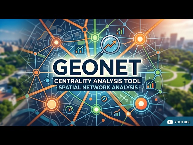
GeoNet is a powerful, user-friendly tool designed for performing centrality analysis on geospatial networks. It enables researchers ...

4:19
GeoNet - application for geospatial network centrality assessment

92 views

1 day ago

Stock Market Palantir
Is This Dividend Stock a Huge Opportunity? | GIS stock analysis | General Mills stock prediction

Welcome to Stock Market Palantir, your daily hub for clear, actionable market analysis and investing insights. Our mission is to ...

22:51
Is This Dividend Stock a Huge Opportunity? | GIS stock analysis | General Mills stock prediction

249 views

3 weeks ago

DevStoriesEU
Rasterio: Numpy for Geospatial Data · 5/5 · Resampling and Writing

Matching satellite imagery to climate models? Learn how to resample resolutions and write new GeoTIFFs using Rasterio v1.5.

4:21
Rasterio: Numpy for Geospatial Data · 5/5 · Resampling and Writing

0 views

1 day ago

Matt Forrest
Why You Can't Get a GIS Job Right Now

If you've applied to 50 jobs this month and heard nothing back, you are not alone. The era of spamming the "Easy Apply" button is ...

11:28
Why You Can't Get a GIS Job Right Now

2,880 views

2 weeks ago

GIS Dominica
GIS National Focus - April 21, 2026

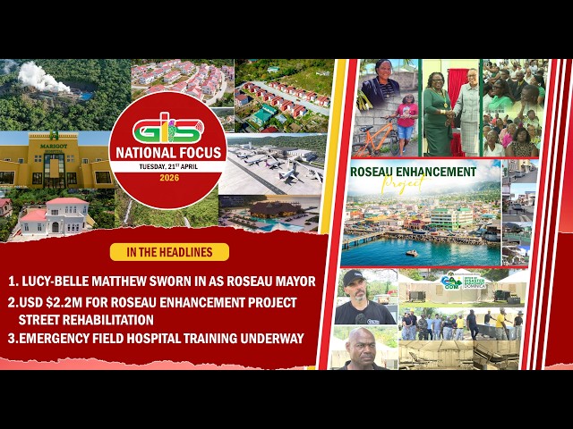
GIS National Focus with Julian Morris. In the headlines Lucy-Belle Matthew Sworn In As Roseau Mayor, USD $2.2M For Roseau ...

17:14
GIS National Focus - April 21, 2026

617 views

1 day ago

AI InterConnect
The Future of Cities: AI, Geospatial Data, and Digital Twins Explained 2026 #aiinterconnect

In this powerful episode, Antonio Cantalapiedra reveals how geospatial data, AI, and digital twins are redefining how cities are ...

39:01
The Future of Cities: AI, Geospatial Data, and Digital Twins Explained 2026 #aiinterconnect

1,338 views

4 days ago

GeoWGS84 Corp.
Processing Massive Geospatial Datasets with Apache Sedona

The rapid growth of geospatial data—from satellite imagery to GPS traces and urban mapping systems—has made it increasingly ...

1:42
Processing Massive Geospatial Datasets with Apache Sedona

14 views

2 weeks ago

GeoWGS84 Corp.
Top Geospatial Data Companies & Trends

The geospatial data industry has become a critical driver of modern decision-making, supporting applications such as urban ...

1:01
Top Geospatial Data Companies & Trends

3 views

8 days ago

NYC Open Data Week
NYC Agency Maps, Tools, & Geospatial Data for 2026

NYC Open Data Week 2026 NYC Agency Maps, Tools, & Geospatial Data for 2026 Lee Ilan - Mayor's Office of Environmental ...

43:57
NYC Agency Maps, Tools, & Geospatial Data for 2026

47 views

3 weeks ago

Casey Abramovitch
Geospatial AI Startups | AI + GIS Frontier | EP 12

AI slop explains Geospatial AI Startups - Funding the Future of GeoAI. Then the AI tries to sell you the cope that it's not coming for ...

4:28
Geospatial AI Startups | AI + GIS Frontier | EP 12

1 view

2 weeks ago

Special Competitive Studies Project
Commanding the High Ground: AI’s Role in Maintaining U.S. Geospatial Dominance

At the AI+ Intelligence event hosted by SCSP, VADM Frank Whitworth (Former Director, NGA) detailed how the National ...

31:08
Commanding the High Ground: AI’s Role in Maintaining U.S. Geospatial Dominance

125 views

8 days ago

Iria - Lieder fürs Leben
Livestream mit dem GIS-Trio am Freitag, 27.03.26, 19 Uhr

Es hat uns große Freude gemacht, für euch als GIS-Trio einen Livestream im März 26 zu singen! Und wir wünschen euch viel ...

1:37:46
Livestream mit dem GIS-Trio am Freitag, 27.03.26, 19 Uhr

3,526 views

Streamed 3 weeks ago

Stratnewsglobal_tech and StratNewsGlobal
India's Delayed Census Gets Geospatial Technology — Privacy Risks Explained

India's Census is back — 15 years overdue — and this time, it comes with geospatial technology, GPS tagging, and a brand-new ...

27:38
India's Delayed Census Gets Geospatial Technology — Privacy Risks Explained

267 views

8 days ago

UNECE Cities
UNECE WPLA Webinar: Disaster Risk Reduction through Geospatial Information and Land Administration

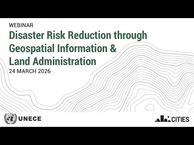
How can geospatial data and land administration strengthen disaster resilience? This webinar by the UNECE Working Party on ...

1:32:17
UNECE WPLA Webinar: Disaster Risk Reduction through Geospatial Information and Land Administration

50 views

3 weeks ago